Illustration (click to hide):
Project Description
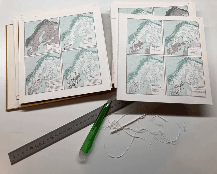
Quantifying range changes and, importantly, understanding their drivers is vital in a time of ongoing biodiversity change. In this project we use image registration techniques together with GIS analyses to digitize historical range maps of all vascular plants (~1800) in the Nordic countries. The range maps were published in Atlas of the distribution of vascular plants in northwestern Europe (1971) by Eric Hultén, one of Sweden’s most notable botanists and biogeographers, and is based on tens of thousands of occurrence records compiled and assessed by Nordic researches and botanists at that time. The data from these digitized historical range maps will serve as base line data when estimation range shifts. When we have access to range shifts estimates we can track range shifts both in geographic and climatic space over time, examining correlates with dispersal ability, phenology and habitat affinity. At the landscape level, we can use range shift estimates together with present and historical land-use data to analyse the role of land-use changes and their interactions with climate change.
Project Information
-
BIIF Principal Investigators
- Christophe Avenel
External Authors
Matilda Arnell, Kristoffer Hylander -
Date
2022-11-14 🠚 Current - GitHub page